Children Are Falling Through the Cracks
Millions can't read by age 10. The data exists to find them—but it's locked in separate silos. Education, poverty, nutrition, disaster—all disconnected.
By the time planners piece together the full picture, children have already dropped out. Communities have already been pushed past the point of recovery.
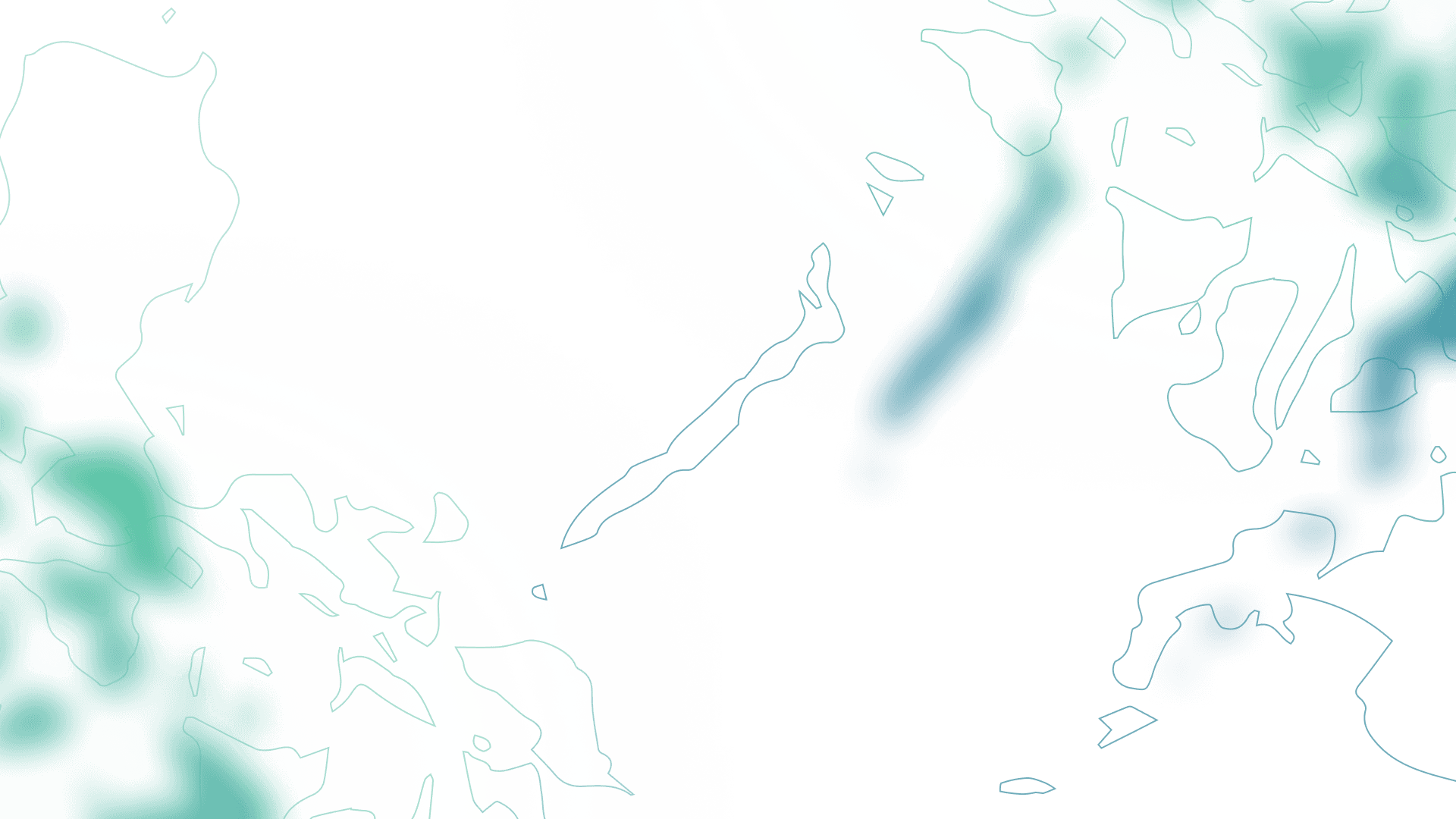
The System Is Broken by Design
Data exists. Solutions exist. What's missing is a system that connects education risk factors into one actionable picture.
Siloed
Education, poverty, nutrition, and disaster data live in separate databases
Delayed
By the time reports are compiled, the school year is already half over
Incomplete
Planners see only fragments—missing the compounding risks that push children out
Invisible
The most vulnerable communities remain hidden until the crisis hits
From Data to Intervention
A streamlined workflow that turns complex datasets into actionable education plans.
View Integrated Map
All education, poverty, nutrition, and disaster data is pre-loaded and ready to explore
Spot Risk Zones
Interactive map reveals high-risk areas with layered poverty, nutrition, and disaster overlays
Analyze at All Levels
Drill into barangay-level analytics: enrollment trends, poverty incidence, nutrition metrics, hazard exposure
Get Recommendations
AI-generated intervention plans with prioritized actions, resource allocation, and expected impact
Integrated Data Sources
GeoDotica connects authoritative datasets from government agencies and humanitarian organizations into one coherent intelligence system.
Philippine Statistics Authority
Poverty & population statistics

Department of Education
Enrollment & learning outcomes

PHIVOLCS
Geological hazard maps

PAG-ASA
Climate & weather data
Project NOAH
Flood & disaster risk
Humanitarian Data Exchange
Humanitarian crisis data & vulnerability indices
OpenStreetMap
Geographic infrastructure

DPWH
Road networks & infrastructure mapping
Philippine Statistics Authority
Poverty & population statistics
Department of Education
Enrollment & learning outcomes
PHIVOLCS
Geological hazard maps
PAG-ASA
Climate & weather data
Project NOAH
Flood & disaster risk
Humanitarian Data Exchange
Humanitarian crisis data & vulnerability indices
OpenStreetMap
Geographic infrastructure
DPWH
Road networks & infrastructure mapping
All data used in accordance with respective open data licenses and government policies. See licenses
The Cost of Inaction
Every day of delayed intervention means more children falling behind. GeoDotica turns data into action before it's too late.
For Decision-Makers Who Need Answers, Not More Data
GeoDotica is built for DepEd, CHED, TESDA, LGUs, and education planners who understand that waiting is not an option.
If you are responsible for education outcomes in your region, we need to talk.